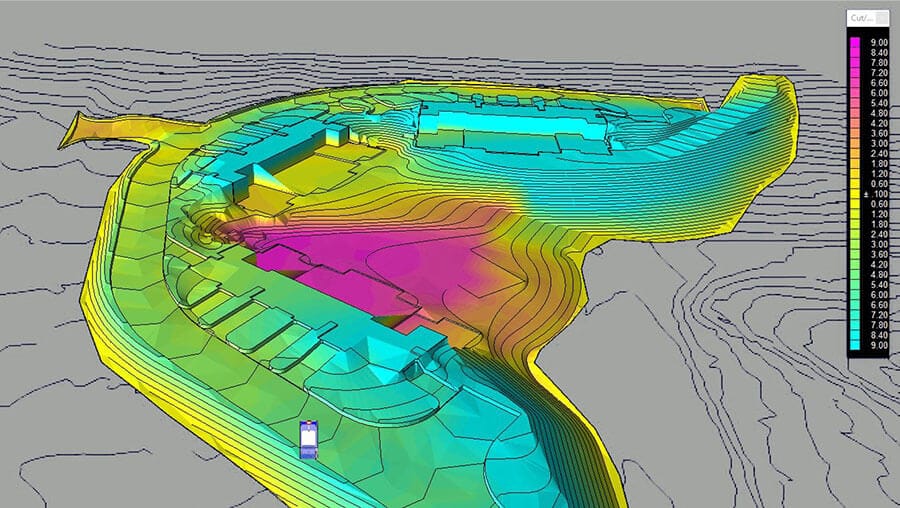
We provide all required calculation and analysis of landform volumes.

We record all site levels and features to generate enough information to create an accurate terrain model. We then overlay it with 3D strings and a formation model produced from the design layout, slicing the data into a number of sections from which the cut and fill volumes can be calculated (a detailed report that includes chainage, position and volume is produced for each section). Finally, we use our soil condition survey to calculate the compaction/bulk factor for best possible volume result. Once a detailed survey of the site has been completed and the design strings have been created, all data is processed by our in-house design team.
Features and Benefits
- topographical survey of the existing site levels
- design formation (the proposed design layout)
- fast report about soil conditions
