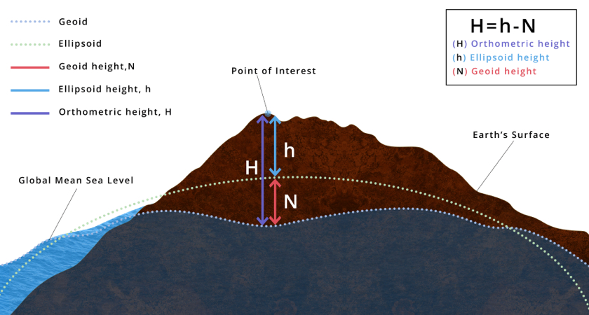
Surveys are required to be related to other features within the area. This will all only make sense if everything is to the same grid & datum.

The survey data recorded is related to the control network established (please refer to the Survey Methodology page). The drawing produced will show the site features relative to each other.
In some cases, all a client needs to know is the relative site situation; for example the difference in level between one part of the site and another etc. In this case the survey stations can be given an arbitrary grid & datum, i.e. an arbitrary Easting (X) and Northing (Y) co-ordinate grid, and an arbitrary site datum (Z) Level value. This can be assigned by the surveyor, or may be related to some existing site reference point.
