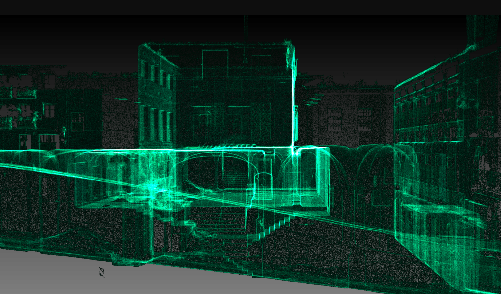
3D High Definition Laser Scanning is used as a precise survey instrument to make very accurate measurements in complicated environments.

ARS Consultancy Ltd pioneering use of 3D high definition laser scanners. Our long-term use of laser scanner technology has proven time and time again, over a wide range of different projects and applications, to reduce on-site and drawing times by as much as 75%.
Our 3D laser scanning instruments are the latest available and can collect millions of measurements in 3D called point cloud. As a result we get high accurate 3D digital presentation of surveyed subject which is delivered expeditiously and with no errors. We employ leading edge point cloud publishing software to deliver the full value of dense point cloud data to our clients. Once all the scan data has been published to our web server, our clients can use the free-of-charge TruView module to view/measure those point clouds online, visualising and familiarising themselves with the surveyed site from the comfort of their own office desk. That means significant savings in travel time, financial costs and site disruptions.
Features and Benefits
- acquiring and visualizing entire 3D environments
- very accurate information, points accurate +/- 3mm
- it offers an extremely versatile range of final deliverables for our clients
- makes all process on site easy with virtual site visits using TruView
We are leaders in gathering and transforming all the surveyed information to a 3D model.
Using 3D laser scanning, digital photography and 2D plans combined with any other survey data, we can produce 3D models for any specific requirements.
Whether you require a BIM model or any other purpose our highly skilled team will help to choose the right service for your project.
As an experts in 3D modelling we can tell what level of details is required for the specific project and make process fast and result in line with expectations.
Features and Benefits
- Building Information Modelling – compatible model
- efficiently represents surface of surveyed objects
- all surfaces can be visibly outlined in 3D wireframe model
- true appearance of objects by combined digital photo with 3D model
